Skip to content
SKYFLEX Get a Quote

LiDAR Scanning & 3D Mapping

Survey-grade aerial LiDAR. Sees through canopy to bare earth. Classified point cloud, DTM, DSM, contours.

Inside the deliverable

Millions of points, classified and checked.

Each flight returns a classified point cloud — structure, ground, and vegetation separated — so your team pulls a bare-earth DTM, a surface DSM, and CAD-ready contours from a single dataset.
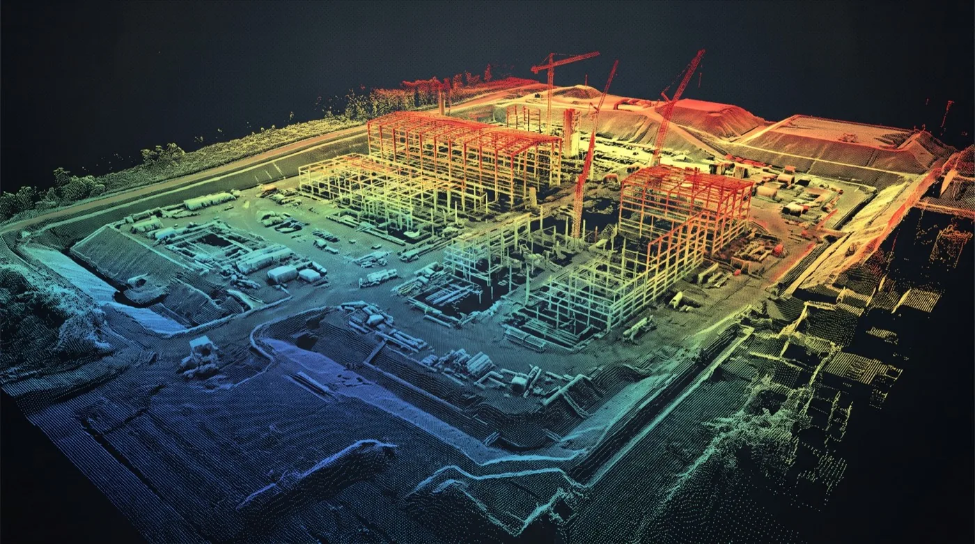
Elevation-colored LiDAR point cloud of a construction site Classified: structuresteel + envelope Bare-earth DTMground-controlled Classified: vegetationauto-separated Every element geolocated400 pts / m²
  • Classified: structuresteel + envelope
  • Bare-earth DTMground-controlled
  • Classified: vegetationauto-separated
  • Every element geolocated400 pts / m²
How LiDAR helps your business

Four steps from your problem to your win.

Your problem — LiDAR Scanning & 3D Mapping
Your problem

You need accurate measurements of a site you can't easily survey on foot.

Maybe it's wooded, dangerous, or just too big to walk. Traditional ground surveying takes days and costs thousands per visit.
What we capture — LiDAR Scanning & 3D Mapping
What we capture

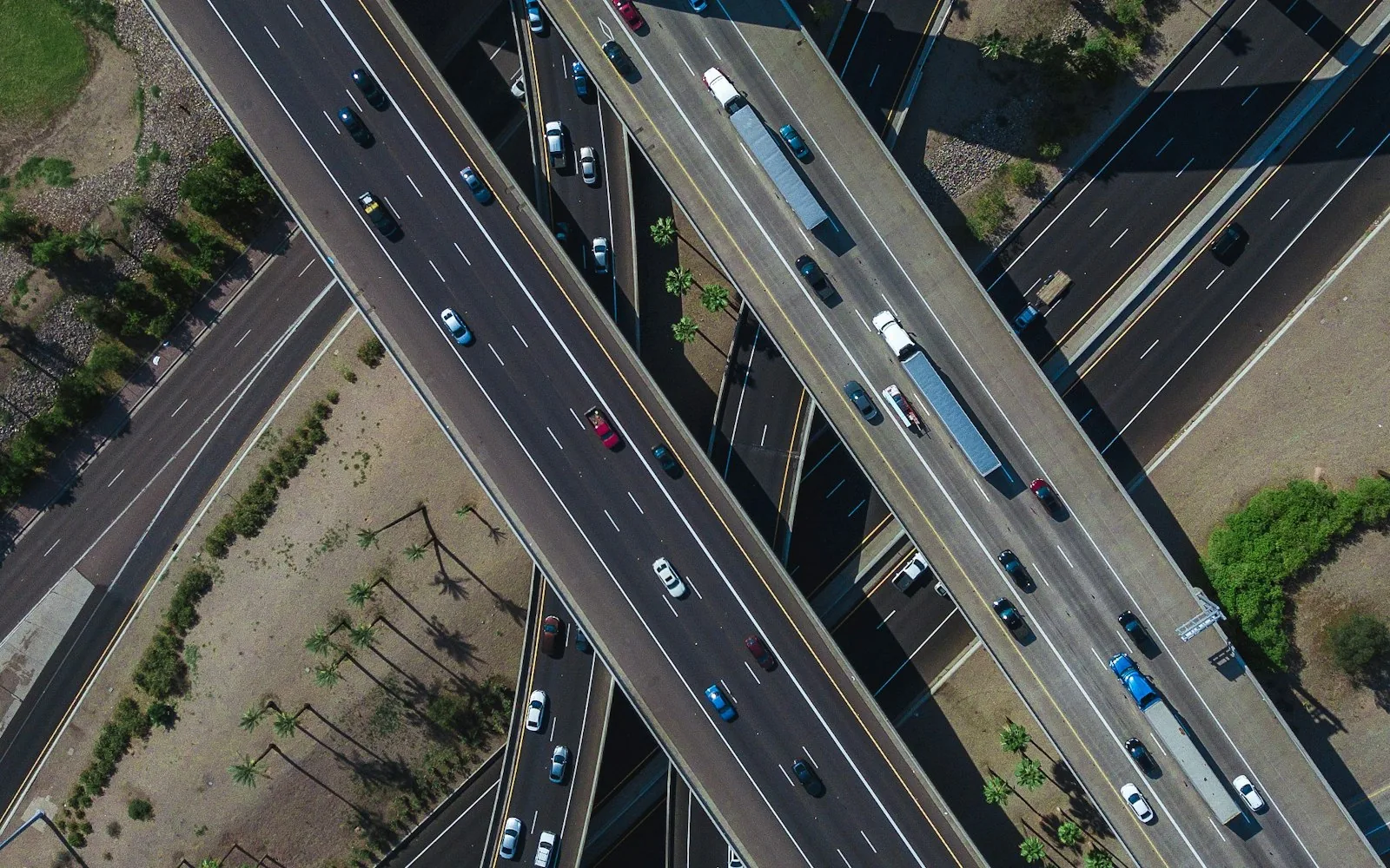
Our drone-mounted LiDAR sweeps the entire site in one flight.

We fly the area in a pre-planned grid, capturing millions of laser-measured points per second: through tree canopy, around obstacles, at survey-grade accuracy (±2-5 cm).
The deliverable — LiDAR Scanning & 3D Mapping
The deliverable

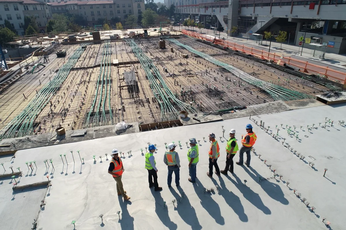
A 3D point cloud, contours, and bare-earth model: in your CAD format.

LAS, LAZ, DEM, contours at any interval you need. Compatible with Civil 3D, Bentley, ArcGIS, Carlson.

How it pays off — LiDAR Scanning & 3D Mapping
How it pays off

Engineering, permitting, or earthwork-volume decisions in a week, not a month.

Cuts survey cost 40-70% on most sites. The 3D model becomes a permanent asset you can re-measure forever.

LiDAR sees through canopy. That’s the difference: where photo-based mapping struggles with vegetation, our drone-mounted laser scanners fire millions of pulses per second and record what comes back from the bare earth underneath. The result is a survey-grade 3D point cloud of your site: terrain, structures, vegetation, and noise all classified separately and exportable to whatever software your engineers use.

What we hand back after a LiDAR mission

  • Classified point cloud in .LAS or .LAZ: ground, low vegetation, high vegetation, buildings, and noise returned as separate classes so your civil software can use just what it needs.
  • Bare-earth Digital Terrain Model (DTM) for grading, drainage, and earthworks design.
  • Digital Surface Model (DSM) capturing tree canopy and structures on top of the DTM.
  • Contour lines at the interval your project requires.
  • Intensity raster: the LiDAR’s own grayscale layer, useful for picking out ground features under leaf cover.
  • Accuracy report tied to ground control with vertical residuals at each check point.
  • CAD-ready exports (DWG / DXF) on request, sized to drop straight into Civil 3D, MicroStation, or your platform of choice.

Survey-grade hardware, defensible accuracy

The platforms we fly are survey-grade LiDAR payloads on multi-rotor or VTOL frames, with integrated INS/GNSS and post-processed (PPK) or real-time (RTK) corrections. Vertical accuracy on a well-controlled site can hit the centimeter range; we report against ASPRS Positional Accuracy Standards and align quality levels with the USGS Lidar Base Specification when public-agency work calls for it. Every project gets a ground-control plan before we fly.

The questions buyers ask first

  • What vertical accuracy can you actually achieve on my site? We scope that against terrain, vegetation density, and control plan before flight: and report against it after.
  • What’s your ground control plan? We set targets and survey them with a separate GNSS receiver; you see the plan before mobilization.
  • What’s the turnaround? Standard delivery for processed point clouds and DTM/DSM is within a few business days of flight; CAD exports and contours follow the same week.
  • Who owns the raw data? You do. Every deliverable is yours, including the unclassified raw scan.
  • Will the deliverable drop into our GIS / civil software without reformatting? We confirm the target platform and format on the scoping call so the file lands ready to use.
  • Weather limits? LiDAR flies in conditions photogrammetry can’t: overcast and even light precipitation are usually fine. Heavy wind grounds us. We don’t fly to a deliverable date at the expense of safety.

Who buys this

Civil engineering firms, mining and aggregate operators, state and county DOTs, energy-corridor owners, and land developers. The common thread: vegetation, terrain, or both make a traditional photogrammetric survey unreliable, and the project needs a defensible bare-earth model.

How it’s priced

  • Per-acre for area mapping or per-linear-mile for corridor work
  • Mobilization fee for distance, multi-day, or after-hours flights
  • Fixed processing line item covers classification, DTM/DSM, contours, accuracy report
  • Rates fall sharply as site size grows: the per-acre on 50 acres is much lower than the per-acre on 5

We don’t publish a rate card because every site is different. Send us the boundary, the deliverable format you need, and the date you want it back: we’ll quote the project, not a generic rate.

Ready to start your mission?

Our FAA-certified pilots are ready to deploy. Get your free site assessment today.

Call Request a Quote